Geospatial Territory Design for Field Operations at Scale
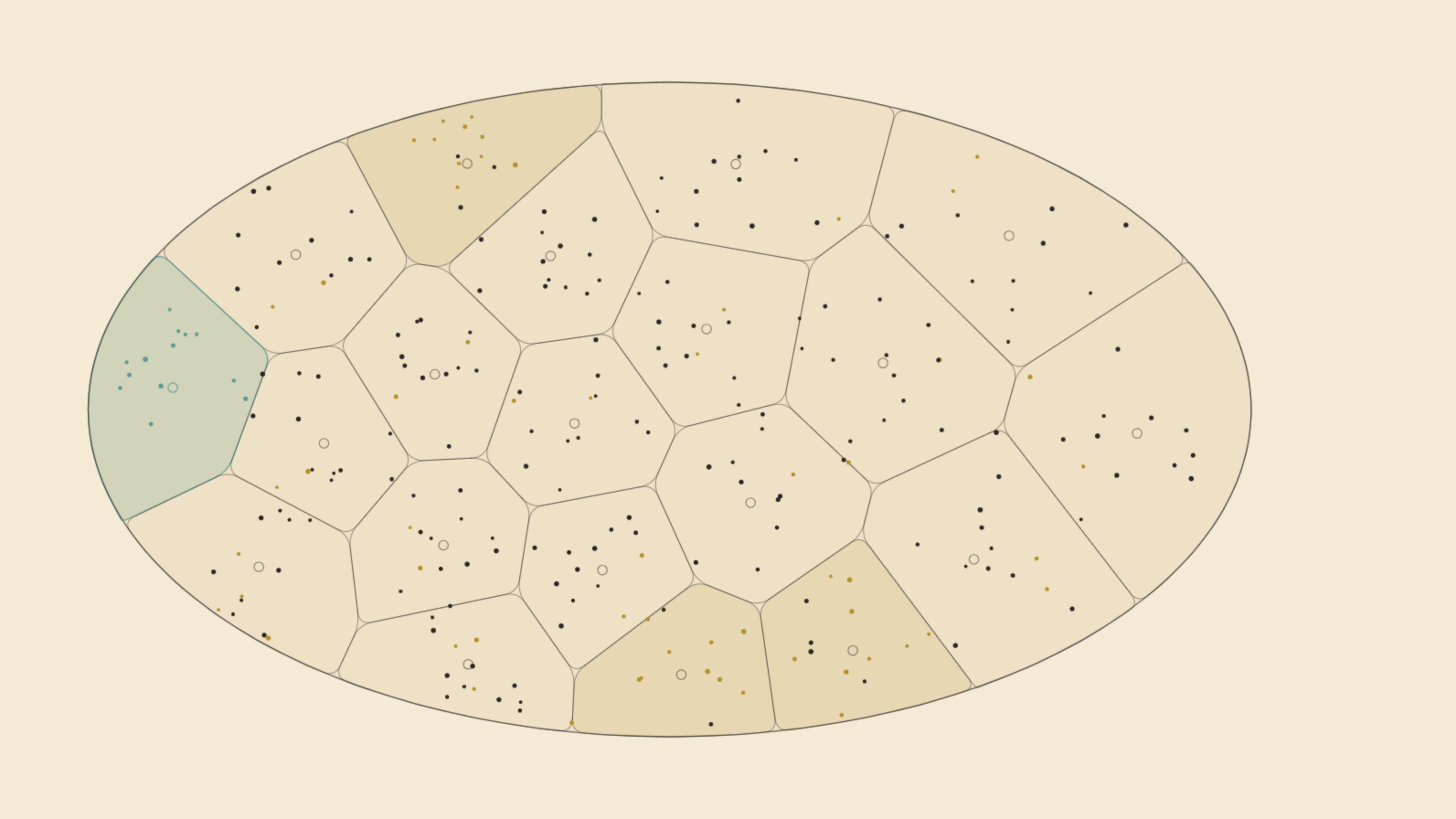
Project Overview
A geospatial system that helped a national retail network turn thousands of scattered outlet locations into clean, well-defined operating territories. It fixed overlapping coverage areas, corrected faulty location data, and added automated geofencing so field teams could operate across more than 160,000 outlets with clear boundaries and reliable positioning.
The Challenge
The network was expanding fast and its territories no longer held together. Boundaries overlapped, some outlet coordinates were wrong or misplaced by whole regions, and it was hard to see who covered which area. Every new outlet still had to be assigned to a territory by hand. The organisation needed a way to redraw territories cleanly and assign new locations automatically as it kept growing.
Our Solution
The solution was a geospatial system that redrew the operating territories from the ground up, removing the overlaps and setting clear boundaries that made coverage planning and field work easier to manage. It added automated geofencing that flags new outlet registrations falling outside their assigned area, which improved data quality and control. The approach was built to scale and to plug into existing operational tools, so new outlets are assigned to the right territory and location decisions happen automatically rather than by hand.
Impact & Results
The project reorganised territory structure across a national retail network and supported the management of more than 160,000 outlets, making field coverage and territory allocation noticeably more consistent. It cut the manual work needed to assign each new outlet and set the foundation for location-aware features inside field apps. Together, these changes made geographic expansion easier to scale while keeping operational control intact.